Vistas via Vieryd
By this stage of my visit, I was running out of new places to go. I mentioned this to A, and she asked whether I had been to a place called Trolleboda. I said I had not, and asked her where it was located. It's a small village a bit to the west of Spjälkö. So the next Sunday at midday, I set out. I decided I wanted to see some more of the places to the west of Ronneby, on the way to Bräkne-Hoby, but not that far (since that would take a long time to reach). Instead, I retraced the path I took the time I went to Spjälkö, as far as Svedala. Here is a photo from that general area, complete with vapour trail from a plane. I like these cloud formations. It is amazing how low the sun appears in the sky as the winter solstice approaches. This photo was taken a little after 1pm.
 Instead of heading south towards Saxemara as I had done on a past occasion, I continued west. Eventually, I came to a fork in the road. I could take the bitumen road Hjälmserydsvägen, or the dirt track Guttamålavägen. I decided on the latter. It was very quiet, very isolated. Here is a photo I took of some of the trees as the track wound off into the distance on the right.
 And here's another from the same area, but looking more up at the clouds.
 As I stumbled out onto Askebodavägen, which was a bitumen road, at the village of Guttamåla, I felt I was in the heart of farm country. Again, I had a choice. I could head south and head straight for Trolleboda, or continue west. I chose west. Eventually, I reached the continuation of Hjälmserydsvägen. Just after this point, there is a small bridge across Vierydsån, the river which flows out of Nässjön, the lake to which I had just been the week before. Here is a picture as it gathers speed flowing under the bridge at a place called Krokskvarn.
 As the river widens on its way south, it becomes more placid. Here it is as seen from the southern end of Hjälmserydsvägen.
 Eventually, the river meets the (Bering) Sea, or at least a long bay named Vierydfjorden. Here is a view looking south along the fjord. It was very cold and cloudy, but I was glad I had made it as far as I had. It would have been about 2pm to give you an idea of the time.
 Here is another view, taken from slightly to the east. The sun was bright enough to poke through some of the branches of the bare trees.
 I then had to make my way home again, after pausing briefly for lunch. Just east of the fjord is the town of Vieryd. Here's the blue and white entrance sign. And you guessed it, the road home was called Vierydsvägen.
 I wanted to have a squiz at a few of the coastal villages on the way home. The first of these that I came to was Bökevik (something like Rummage Bay). The blue sign below says (my translation) Bökevik's Fishing Village. You are welcome to walk here. Cars are directed to the marked parking spots.
 Here is a view from the very end of Bökeviksvägen, complete with fishing boat.
 There are many jetties here. The purpose of this photo was actually to get a picture of a white swan, but I did not zoom in far enough.
 The next village to the east is Skönevik. Here's the sign. It's the village just north of Trolleboda.
 And so on to Trolleboda itself. It's a fair hike southwards from Vierydsvägen. I went past a farm on the way with a delightful little pony with its mum, but there were farmers around so I didn't want to offend them by stopping to take a photo. Anyway, here's one of the jetties when you get down to the coast.
 Some of the bare trees near the jetties. It's still a popular spot even in November, as there were a lot of cars parked near here.
 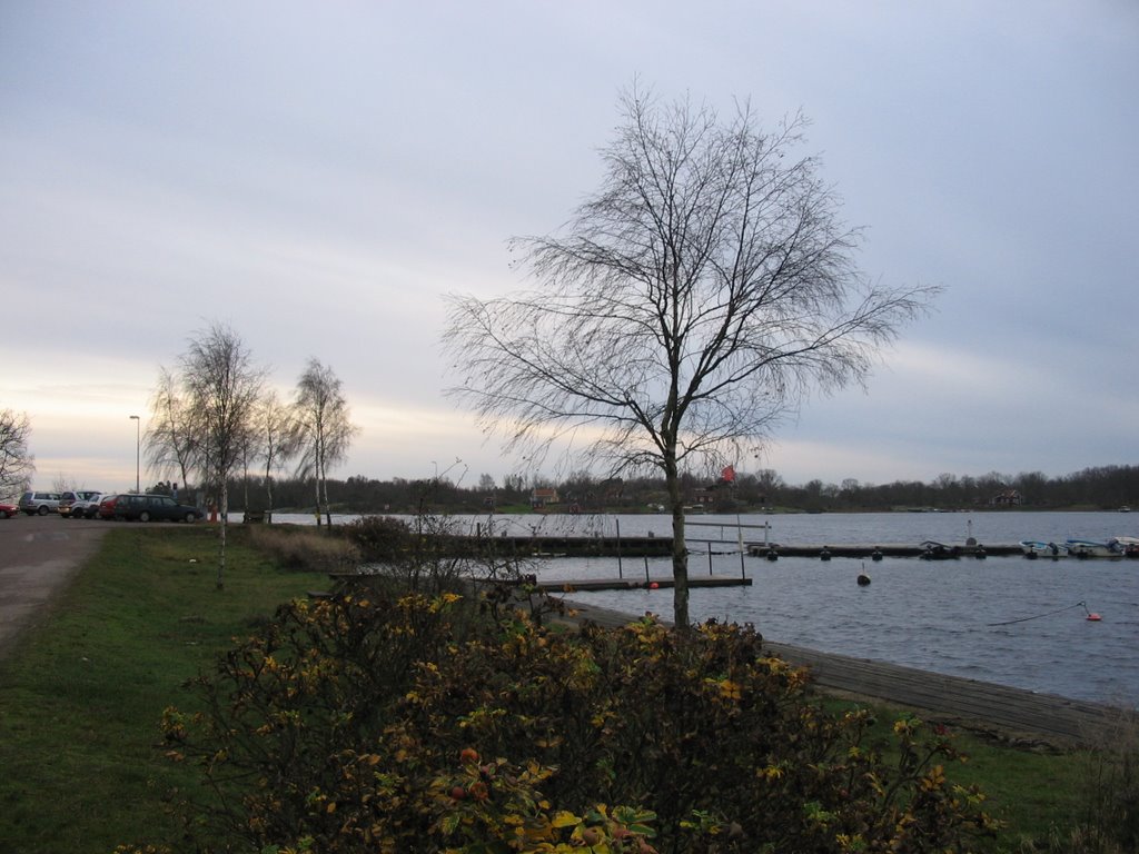 An overturned picnic table on Lindaslättsvägen, prompting memories of a long-ago summer.
 The village between Skönevik (something like Beautiful Bay) and Spjälkö is Dragsnäs, which means something like Lure's Isthmus. The view below is from Vierydsvägen at a point where it gets very close to the water. In the distance, on the left side of the small passage of water, is Dragsnäsudde, which is the headland. There are only a couple of houses there.
 I finally cycled back through the now-familiar towns of Spjälkö and Saxemara, then northwards home to Ronneby. The birds on Härstorpssjön seemed to be congregating in groups (maybe it was time for their town meeting, where they would discuss why the days were so short at the moment?), so I took a photo of one such group as the sun set.
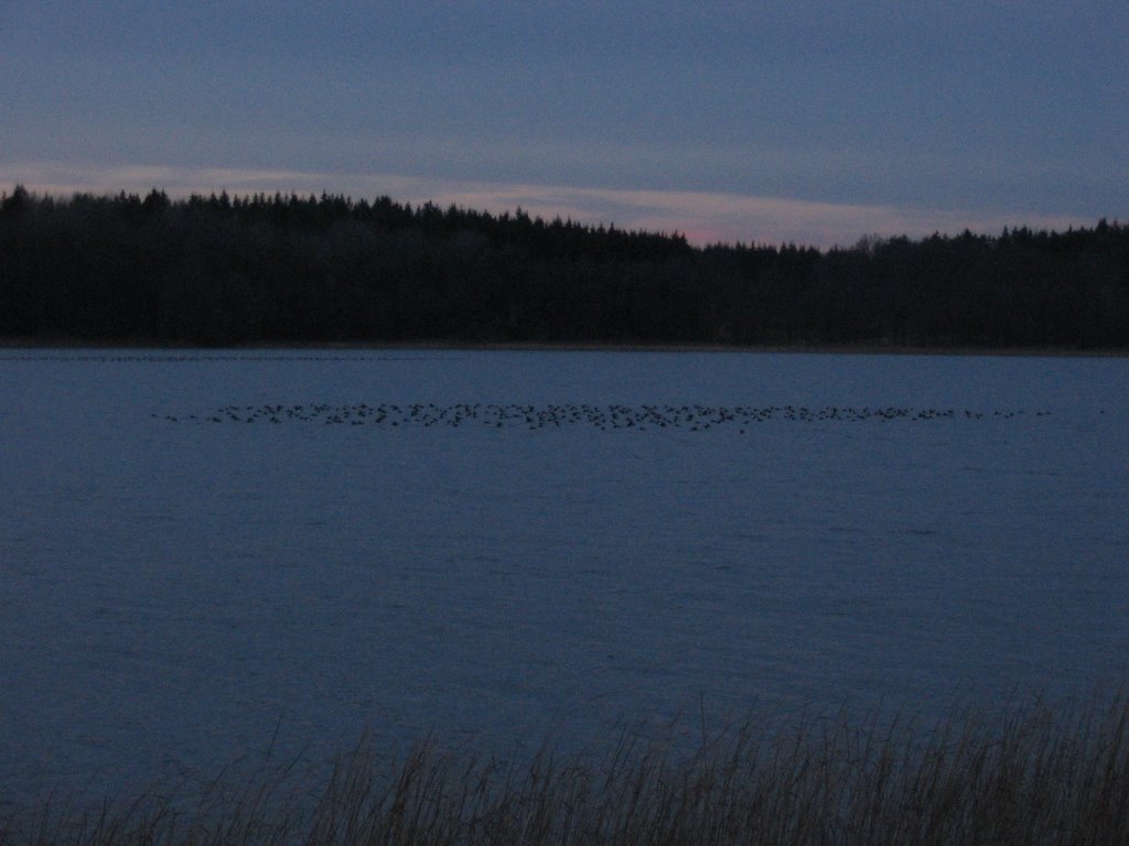
posted by Bruce @ 8:47 am
![]()

<< Home