Riding Along to Långasjön
The next trip was meant to be to a lake named Nässjön. Unfortunately I didn't make it that far. You'll see why later in this post.
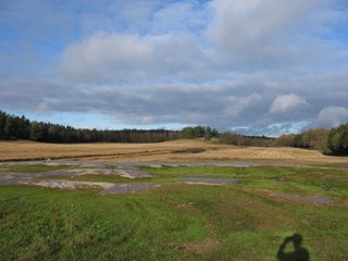
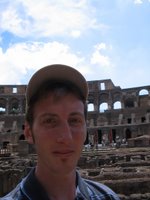
I travelled along Härstorpsvägen until I reached the T-junction north of Harstorpssjön. This is the view to the north. Guess who's in the lower right corner?
 This is the view south to Harstorpssjön.
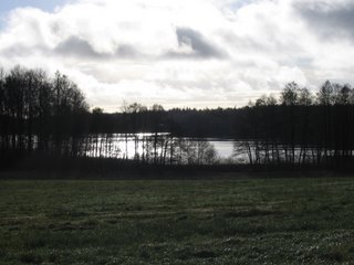 I followed the winding trail for quite a while. There were a couple of streetsigns but I don't remember the names. Here is a tree that looks like a Christmas Tree to me. I'm not sure what type it actually is.
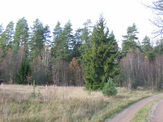 This area of Ronneby is still mainly forest. Here is another large pile of logs, ready to be transported somewhere.
 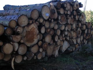 Coming to another T-junction and taking the left branch to its conclusion, I reached Långasjön (Long Lake). It's named for obvious reasons. It's very long and thin. There was another one of those wooden structures with a ladder, although this one was slightly different as there was plastic with two holes in it covering one side.
 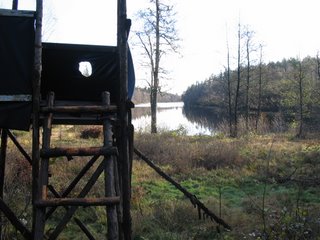 This is Långasjön as seen from its northern tip.
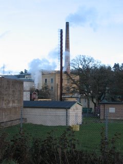
From there, the plan was to reach Nässjön, which is north of the E22. According to my map, the only way to get there was to basically ride back to the northeast corner of town and head further north and west. From my map, it appeared that some of the roads passed under the E22, just like at Skärsjön. Upon reaching those locations in person however, I realised that they did not. Instead, they ran along the southern edge of the E22. I was stuck. All I could do was make it to Karlshamnsvägen. I stopped in at the ÖoB and purchased a couple of items. I still had a small amount of time left before sunset, so I made the short ride north to Kallinge. Here is a view of some of the industrial area.
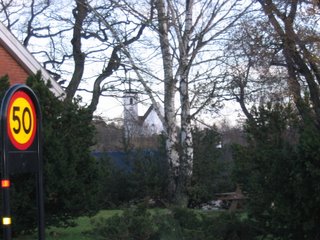
And in this photo you can just make out the spire at Kallinge Kyrka.
posted by Bruce @ 11:49 pm
![]()

<< Home