Tour to Spjälkö
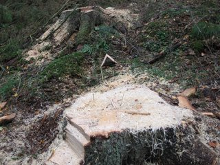
The next trip ended up being to a little town called Spjälkö, west of Saxemara. But it didn't really start out that way. My main goal was to try to find some of the lakes west of Ronneby. So I set out along the eastern bank of Härstorpssjön, and then turned right at Hjälmserydsvägen. This road is relatively hilly in comparison with Vierydsvägen. Also, there is no devoted bike lane. But still, I was going somewhere new and different. The first lake on my map was Långasjön (Long Lake, named for obvious reasons) however there were no forks in the road leading in that direction, so I had to give up on that one and try for the next one - Kroksjön, or Hook Lake. I found the correct turnoff for it. I remember it being a rather muddy and hilly trail. Forestry is a very important industry in Sweden. This tree stump right next to the road really symbolised logging for me.
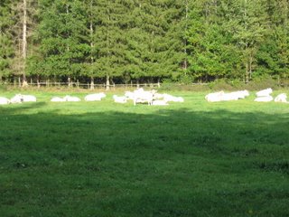
I followed the trail to its end, only to discover that it terminated in a farm paddock. I could see Kroksjön, but there appeared to be a number of fences in the way. So, I gave up and started back along the trail to the main road. Part of the way back, I came across this herd of all-white cows. I think it must have been afternoon nap time for most of them.
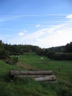
Further along Hjälmserydsvägen, I came to a T-junction. I could either turn left down Svedalavägen, or keep going straight. I chose the first option, mainly because I didn't want to go so far that it would take too long to get home again. Here is a view of a paddock with some rolls of hay, and crossed by power lines at the T-junction.
The route along Svedalavägen takes you to Saxemara, but this time from the north. It's an almost completely straight road, fairly quiet, with a few farms right near it. Here are some piles of wood - quite a common sight here.

Cue music: Michael Jackson's "Black or White" here. One of those farms I mentioned with an assortment of sheep.

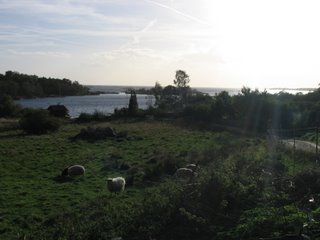
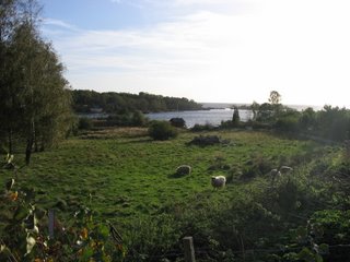
Eventually you reach Saxemara. But I had already been there, so I headed further west along Vierydsvägen. I turned off at Spjälkövägen, which is a U-shaped road, and not surprisingly the main road of Spjälkö. Here is a view of the bay (complete with more sheep) from between Spjälköviksvägen and Steningavägen.
Here's another just for good measure. I think Spjälköviksvägen is a private road, so I travelled down Steningavägen instead.
Here are the vapour trails from some planes that had recently passed by, in front of a bright October afternoon sun.

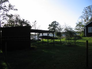
There are lots of houses that are built right on the southern coast of Sweden. Here is one of them that was tucked away. The water in the bay is just visible in the background.
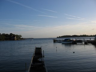
With that, I decided I should get home again, but I promised myself to pop in to see the sea wherever I could along the way back east. After passing through Saxemara again in the opposite direction, I came to what I think was Varvsvägen (Shipyard Way). Here is the very pleasant view from the jetty.

And here's a self-portrait at the same location.

The next stop was Sjöhagavägen. Here is the partially broken jetty there.
If you look closely, you can see a jellyfish in the water. It was my first Swedish jellyfish (unless it had floated over from Denmark or Germany).

I still had a small amount of time left before sunset, so on the way home I stopped off at Persborgsgolen. It's a little lake off of Utmarksvägen, right near the apartments. I took a few photos while it was still light.
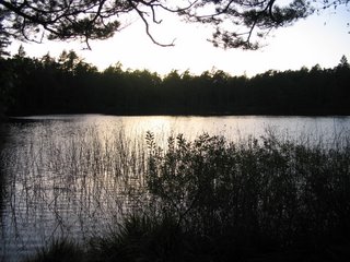
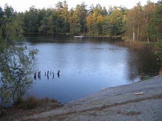
This one is from the top of the rockface on the south side of the lake.
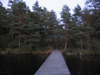
I was really hoping for a spectacular sunset photo. I waited around for a good 45 minutes. However, there were very few clouds in the sky that night, so firstly, it did not create any snazzy sunset effects, and secondly, it started to get quite cold. Here is a view from the end of the jetty back towards the shore.
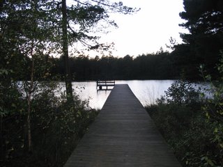
And lastly, here is one in the opposite direction, from the shore looking down the jetty into the distance.
posted by Bruce @ 5:30 pm
![]()


<< Home