A Gawker In Bredåkra
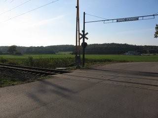
The next trip was in a northerly direction again. I wanted to extend my trip to Kallinge, to go further than the airport. Instead of going via Kallingevägen again I decided to go along a street I had seen up in Sörby. Its name is Djupaforsvägen because it leads to the industrial suburb of Djupafors. It's a very plain road that is not used often, and runs next to the railway line. Here is the northern end of that road, at the railway crossing. The ÖoB (Överskottsbolaget, a bit like WA Salvage) is off in the distance on the right.
 Between Djupaforsvägen and the river are these huge stockpiles of wood.
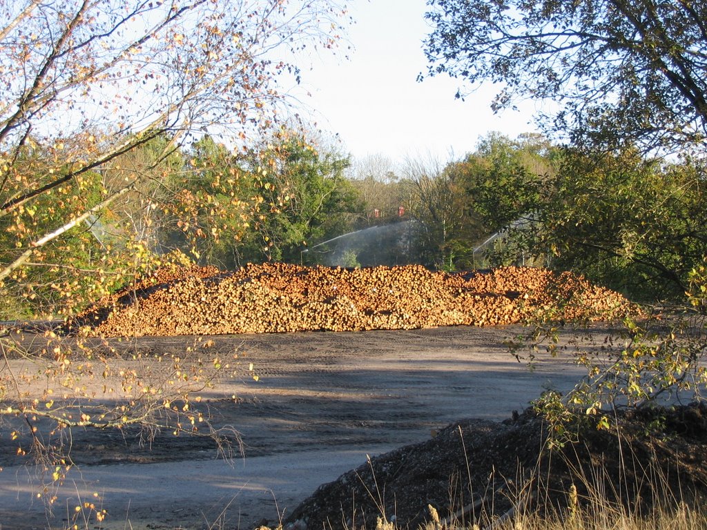 Going up the hill, this is some of the industrial area.
 Continuing along the street of Häggatorpsvägen (Bird Cherry Croft Way), there were a few a trees starting sport their autumn colours. This one looked particularly dazzling. There is unfortunately a very loud guard dog at this house, so I moved along quickly.
 From there, I cycled through Kallinge again. No new photos, as I had passed through a few weeks previously. I went past the airport on Bredåkravägen. Here is a different view of the terminal.
 And here is an SAS plane which had just landed.
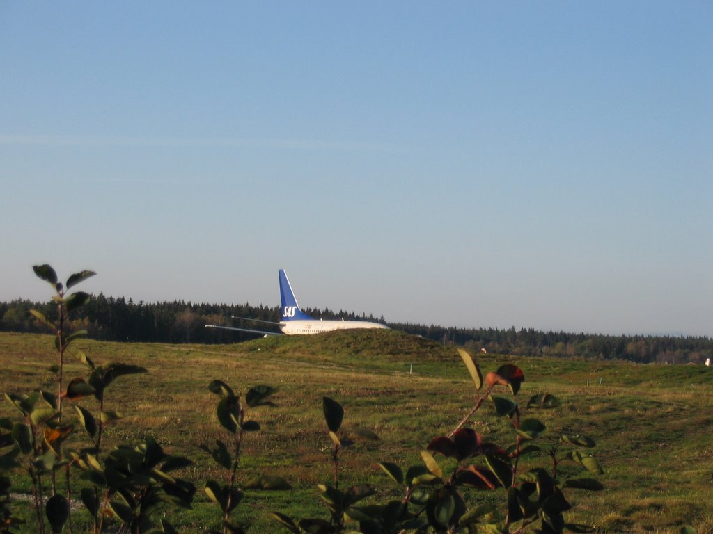 Riding along a little further, you reach the town of Bredåkra, or roughly "Broadfields". Here's the entrance sign.
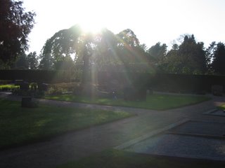
 At the end of that road is the cemetery. The following few photos are pictures taken there.
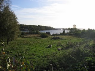
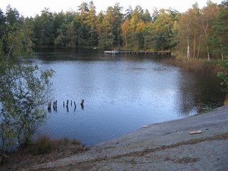
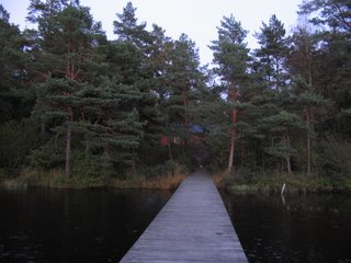
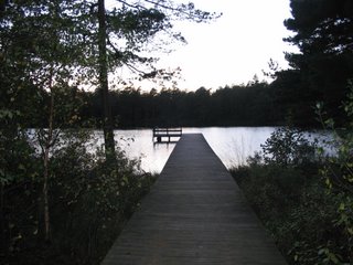
This one's a very peaceful view of the sunlight being filtered through the leaves of a tree.
 Here is one of the main paths of the cemetery, lined by giant matching trees.
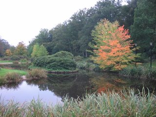
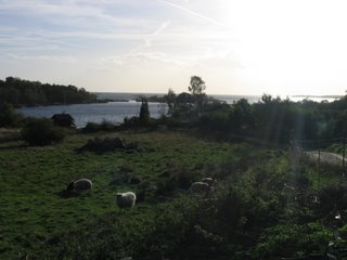
 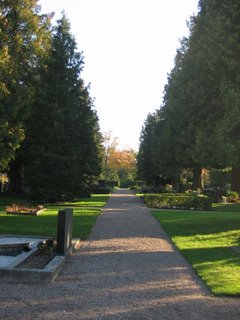 More of a landscape shot, this one.
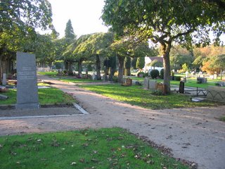 And here is a view back towards the church at the intersection of Solhemsvägen and Eringsbodavägen.
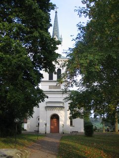
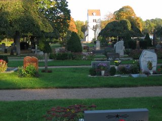 And here is one of the church itself. I suppose it's very similar in design to a lot of the churches here, e.g. Heliga Kors Kyrka and the one in Saxemara. Bredåkra's church does have one distinguishing feature, though. I thought the numerals on the wall read 1737, however reading the church's webpage leads me to believe that it in fact says 1939.
 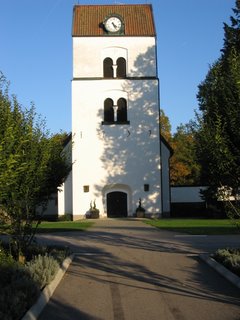 From there, I headed north along Eringsbodavägen, to the town of Hasselstad, which is apparently big enough to get a black and white sign, rather than the blue Bredåkra one.
 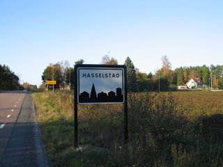 Yet again, there was not much there, and moments later, taking the righthand road at the Y-junction, I was out in the country again. I was going along Eringsbodavägen in a northward direction, parallel with the airstrip. Here are some of the sets of lights that I imagine are used to assist planes landing here at night.
 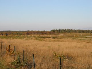 Again things started to get interesting. Time was marching on and I was trying to circumnavigate the airport in a clockwise direction. However, the road just seemed to go on and on northward. If I went too far, I wouldn't get back south again in time. So I decided to chance going on a smaller trail that was marked on my map. The corresponding trail in real life was nowhere near as well marked. Soon I started to get disoriented. But I just kept trying to follow the airport fence. At times I had to walk my bike rather than ride it as the trail was too bumpy and thin. Here is a bare patch of forest where I stopped to consult my map.
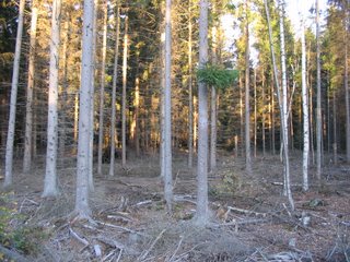 Eventually I made it out onto Värperydsvägen and I started the long journey southwards. On the way I had an unexpected find - Ronneby Garrison. Here is the scrolling noticeboard saying it was 10 degrees at 5:18pm. The coat of arms for Blekinge is at the left.
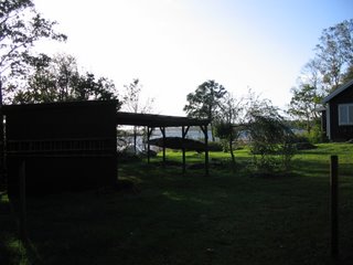
 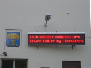 The best find of all was this plane mounted on a concrete block just outside the entrance to the garrison. You can make out the three crowns of Sweden logo on the side. It would be great to see at night, being lit from below.
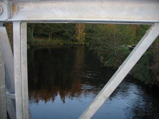
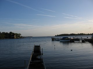
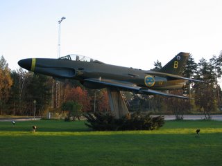 I decided I had just enough daylight left to try crossing Ronnebyån and cycle home via the eastern side of Kallinge. And here Google Maps stuffed up a bit. Their roads did not match mine and I ended up hitting a couple of dead ends. I was not amused. I reached a small bridge and crossed over the river. Here are the views to the west and east at that point.
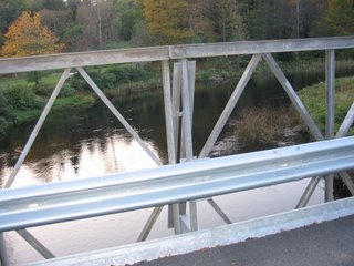
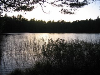
 Getting back onto a main road at that time was somewhat difficult. Google seemed to say the path to do it was basically straight and fairly wide. I found no such road, but there was another one of those thin trails. Having the only other option of cycling all the way back to the garrison, I pressed on. Eventually, success as I found Kallebergavägen. From there, my route was basically directly south. I had to hurry, as I knew the sun was setting. Here's a view of the setting sun from near Kallinge Kyrka.
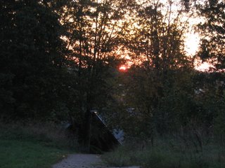 Cycling back via the familiar Ronnebyvägen/Kallingevägen, I managed to snap this lovely picture of the clouds at sunset. To me, the clouds resemble the shape of an eagle in flight.
 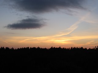 Arriving again in Ronneby, I cycled past Snäckebacken to discover that the flower display about Multicultural Year 2006 had been dug up. Here is all that remains of it.
  And finally, here is one of a tree back at Hjorthöjden in silhouette as the sun sets.
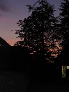
posted by Bruce @ 11:51 pm
![]()


 Further east, this is the tunnel under the railway line at Gärestads Bygata. This is basically the edge of my map.
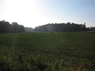
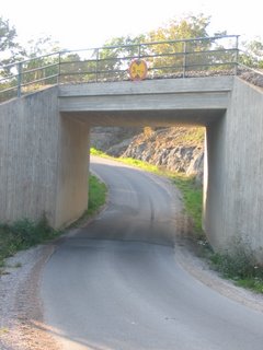 Here is the countryside of that area.
 Here is a tree in another nearby field. The bird at the end of the sawn-off branch is in fact fake.
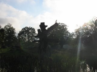 And here is the entrance sign to Yxnarum. It's not the same style as the black and white ones for Ronneby, Saxemara and Kallinge.
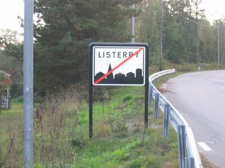
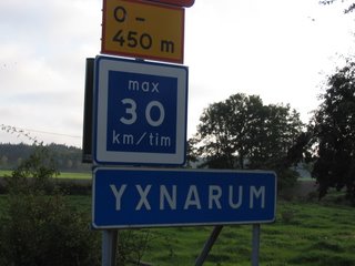 Yxnarum itself was a bit of a disappointment. It was really just a few houses and barns. It would have been a shame to go all that way for almost nothing, so I continued on and rode the three further kilometres to Listerby. I knew of Listerby because of the Listerby pizza place I had seen at the big roundabout on the way to Karlskrona. Here's a "you are now leaving Listerby" sign, just near the bridge over Listerbyån.